
No Pipeline Goes Unseen
Leaving Nothing to Question
Nothing Is Out of Reach
Building A Better Future
Fast, Efficient & Accurate
Rise Above The Rest
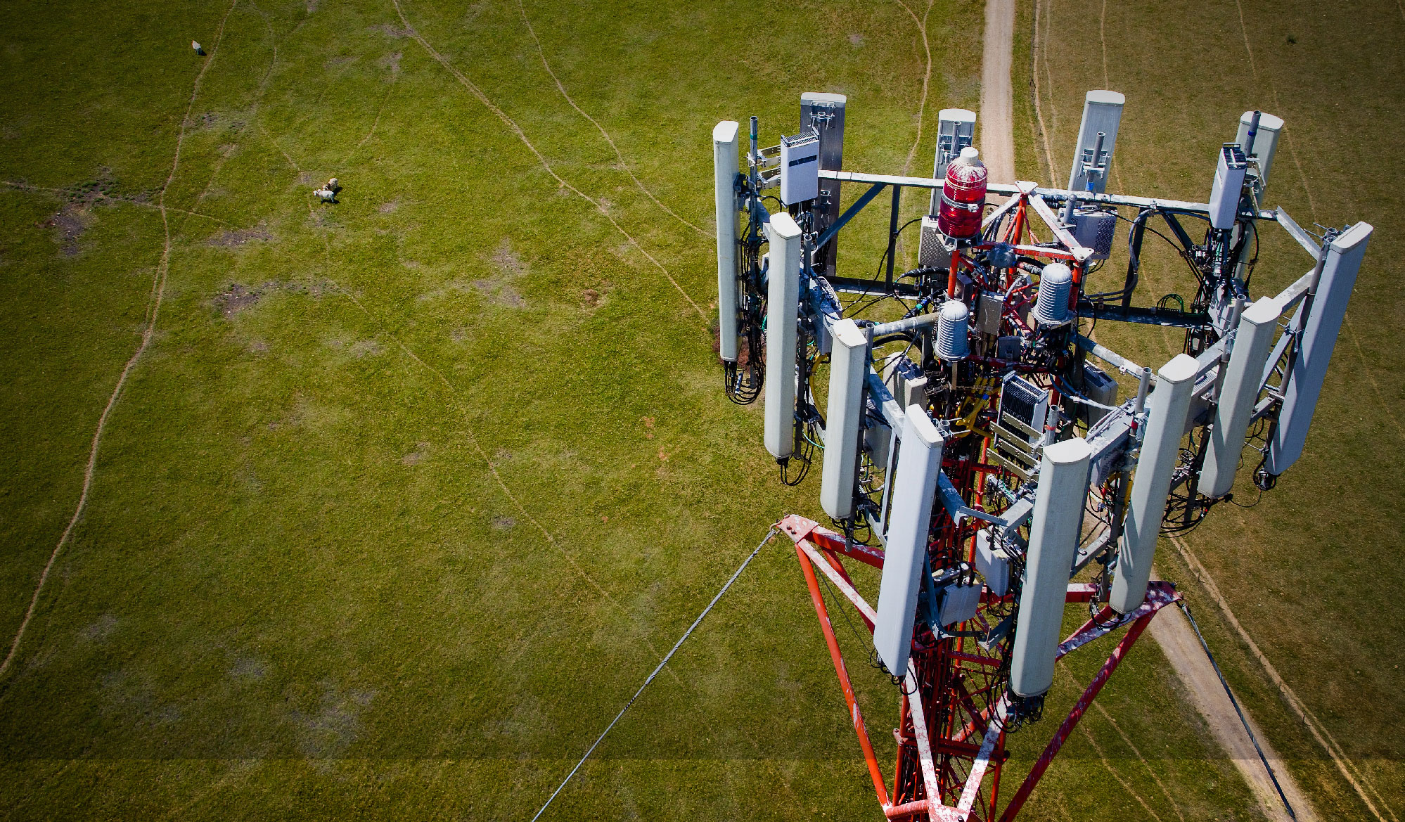
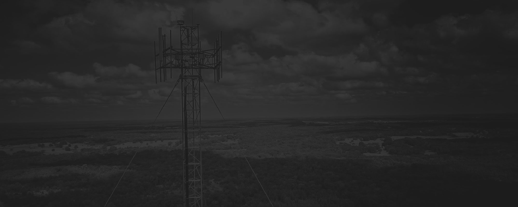
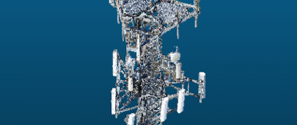
Telecom
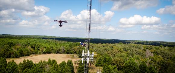
The telecommunication industry is rapidly embracing the UAV technology for the purpose of conducting pre and post construction audits, TIA inspections and documenting both above ground and surface damage following a storm. For example, UAVs can quickly, and cost-effectively, be deployed prior to equipment modifications to conduct a pre-evaluation survey. After the modifications, they can deliver a date-stamped as-built photo montage.
Additionally, utilizing UAVs reduces unnecessary tower climbs, thereby increasing safety which is responsible and financially sound. Further, digital photography records historical events and the data can be filed chronologically. This is useful for future reference between modifications or new tenant installations and accessible by using point-and-click analysis from a desktop or hand held devices.
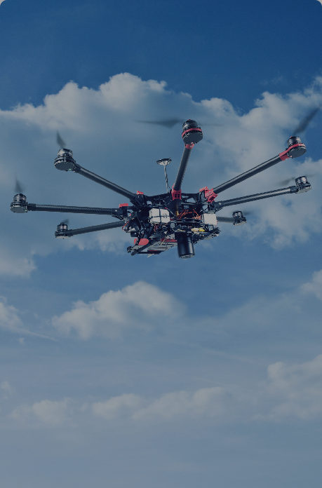
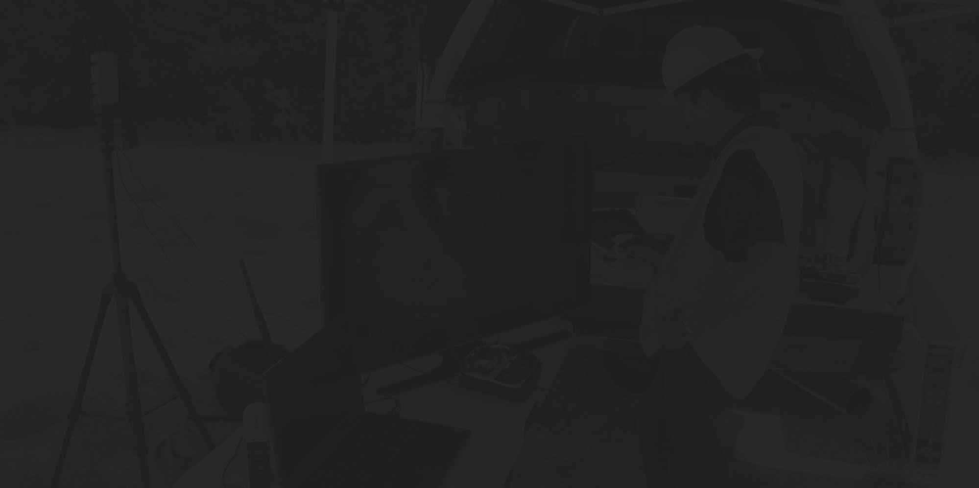
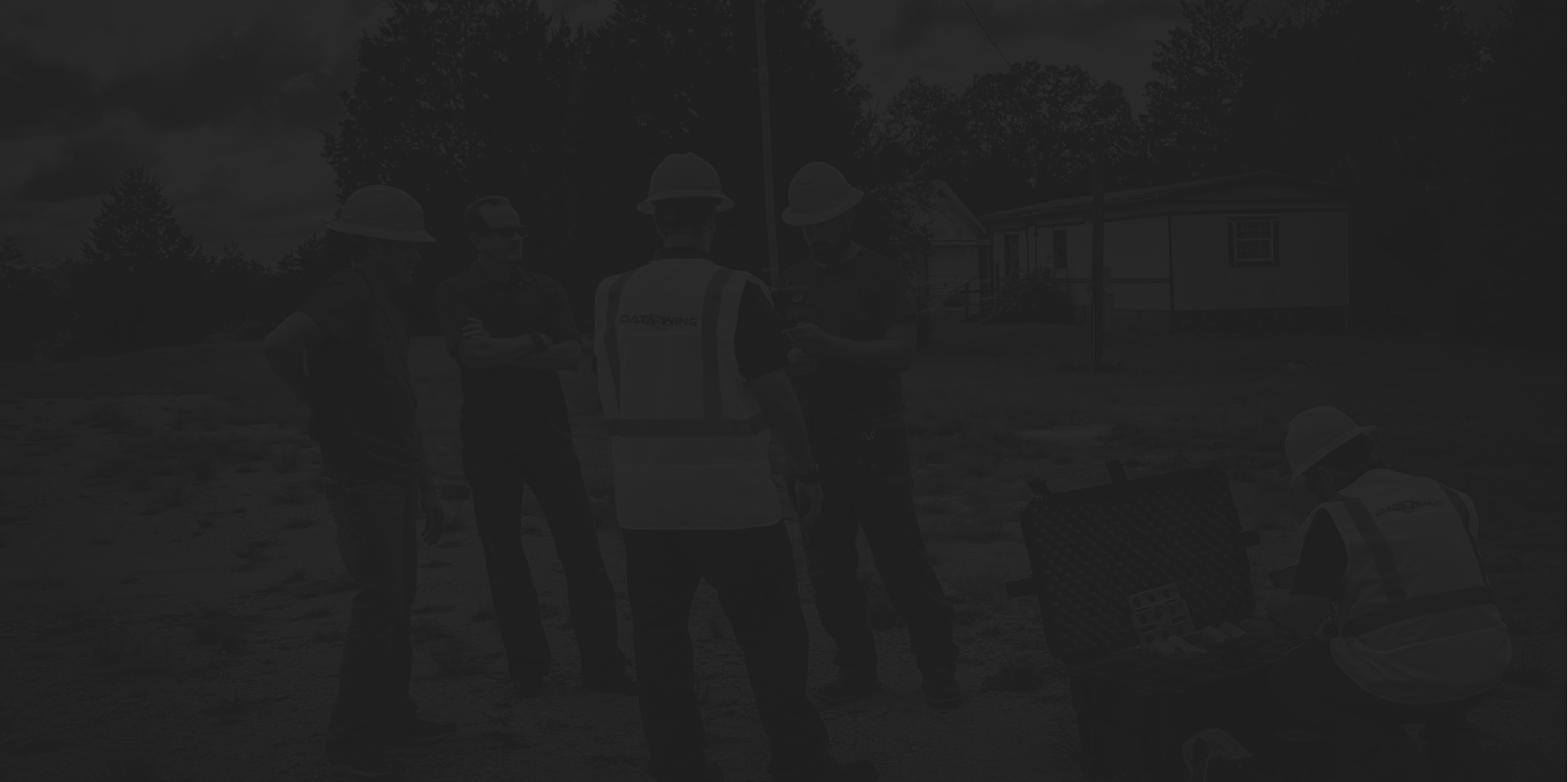

Drone Field Services
- Cell Tower Inspections
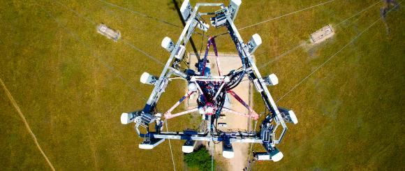
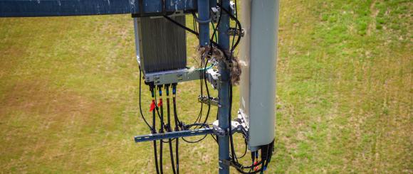
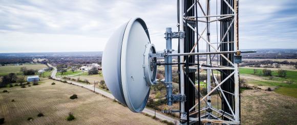
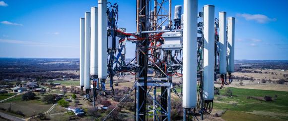
DataWing uses drones to conduct routine inspections of cellular communication towers. We can provide geospatial maps and video of such wireless infrastructure to help comply with regulatory and environmental inspection requirements. Towers need to be inspected on a regular basis to avoid expensive repairs and catastrophic events. Through DataWings HD pictography you will have a visual of every face and angle of the structure helping you to safely ascertain flaws, defects and any infractions. DataWing can record and provide a live video transmission of the tower inspection in high definition video so you can view the structure from a desktop anywhere in the world. The data can be delivered directly to you, or stored in the cloud and can be accessed immediately or at any time in the future.
- Close-Out Packages
DataWing’s team has over 30 years of Telecom experience, including key experience in requirements for Close Out Packages. DataWing is pioneering ways to meet this need quicker and cheaper through the use of drone aircraft.
- Regulatory and Environmental
DataWing drones can be utilized to determine lighting infractions and active nesting of endangered species. Our drones are able to capture this imagery in a timely, efficient and discrete manner.
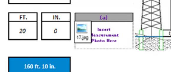
- Mapping and Measurement
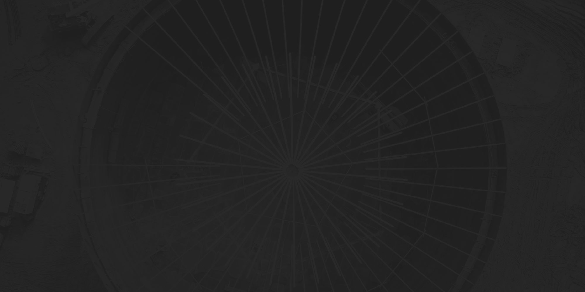
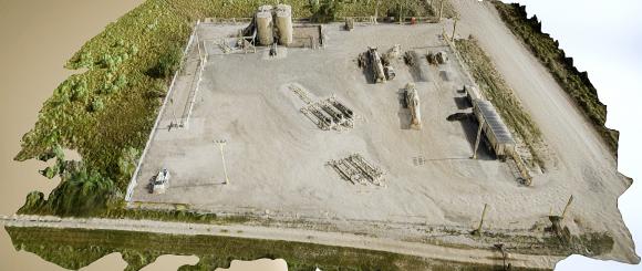
Current UAV (drone) technology allows for the capture of digital aerial imagery over both large and small areas, which can then be transformed into 2D orthomosaics (maps) and 3D models.
- Frequency Output Readings
DataWing has the ability to attach a host of different sensors, based on client’s needs, to take various frequency measurements off of the tower.
- Antenna Measurements
DataWing uses sophisticated modeling to take accurate measurements of antennae and other facets of telecom infrastructure.
- Damage Assessment
DataWing drones fly high above the ground to take full-scope pictures of items that may have been damaged or broken during storms or disasters. These pictures are sent back to headquarters for further assessment.
- Geospatial Data
Current UAV (drone) technology allows for the capture of digital aerial imagery over both large and small areas, which can then be transformed into 2D orthomosaics (maps) and 3D models.
- 111
1111
- 222
222
Cell Tower Inspections
Close-Out Packages
Regulatory and Environmental
Mapping and Measurement
Frequency Output Readings
Antenna Measurements
Damage Assessment
Geospatial Data