
No Pipeline Goes Unseen
Leaving Nothing to Question
Nothing Is Out of Reach
Building A Better Future
Fast, Efficient & Accurate
Rise Above The Rest
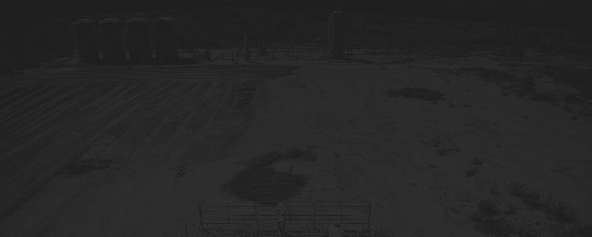
Oil & Gas
In the U.S., approximately 2.5 million miles of pipelines transport roughly two-thirds of domestic energy supplies including crude oil, raw natural gas and natural gas liquids. The safety and security of all pipelines, regardless of their size, placement, or location is of paramount importance to not only pipeline owners, but also the public at-large. DataWing’s drones and associate analytic technologies can effectively function as “digital workers,” taking on tasks that were previously done by humans, such as leak detection, flare stack inspection, perimeter surveillance and right-of-way monitoring. The early detection of issues creates a faster response time. Ultimately, using DataWing’s drone services improves asset integrity, mitigates risks, facilitates faster decision making, enhances worker safety and improves executive oversight.


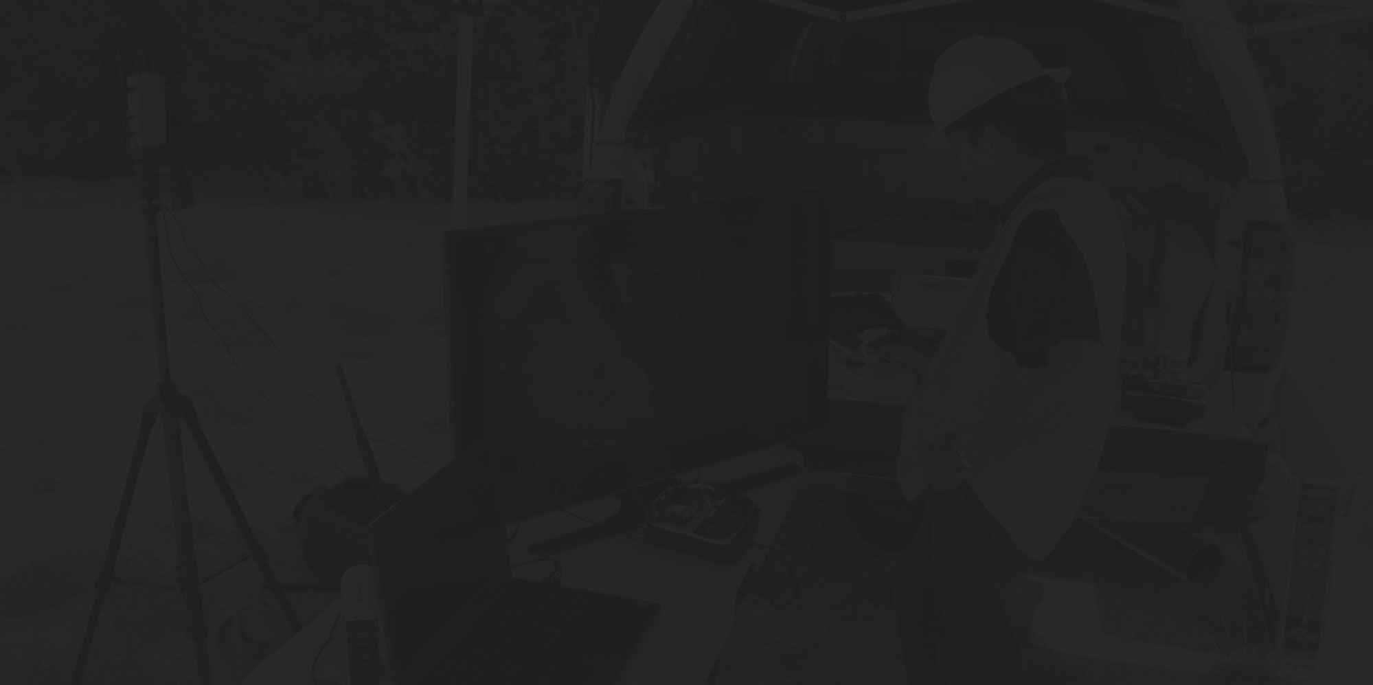
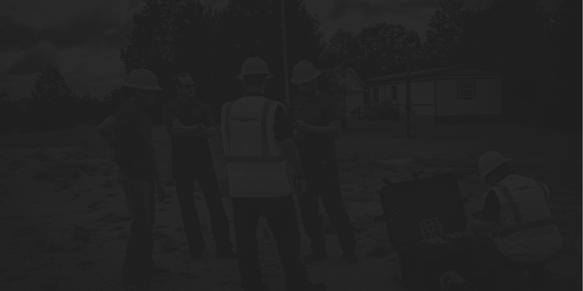

Drone Field Services
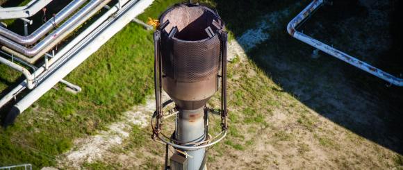
- Flare stack inspection
DataWing uses drones to achieve heights normally only viewed with ropes, scaffolding, ladders, and cranes. DataWing’s experienced team and state-of-the-art drones reduce unnecessary human risk and save millions of dollars in shut-down costs by inspecting active flare stacks. Real-time streaming to inspectors allows for pinpointing problems and accurately planning turnarounds.
- Pipeline Right-of-Way Inspections
DataWing was born from an innovative idea to use drones for right-of-way (ROW) patrol and response. Being aircraft agnostic, DataWing realized that manned-aircraft were still the most cost-efficient and effective for this task. Operationally qualified pilots, sophisticated cameras, and advanced post-processing produce accurate reports, geo-locate encroachments, and generate mapping documents exportable to Google Earth, GIS, and other formats.
- Gas Detection
Not everything DataWing does uses drones. DataWing utilizes boots-on-the-ground to capture data if it’s the best option. Qualified field operators use state-of-the-art Optical Gas Imaging (OGI) cameras to pinpoint methane and other leaks on site. When the data must be captured from the air, DataWing utilizes a variety of drone-mounted thermal cameras and atmospheric monitors to rapidly record hydrocarbon and Volatile Organic Compound (VOC) releases.
- Asset Management & Monitoring
DataWing works closely with sister companies, which are all oil and gas affiliated, enough to understand the necessity to monitor and track all assets on a given site. DataWing uses drone-based live streaming as well as our full array of sensors and software suites to give operators a birds-eye view of all assets and activity across sites. Better data fuels better decisions for both site leadership and executive leadership in the oil and gas space.
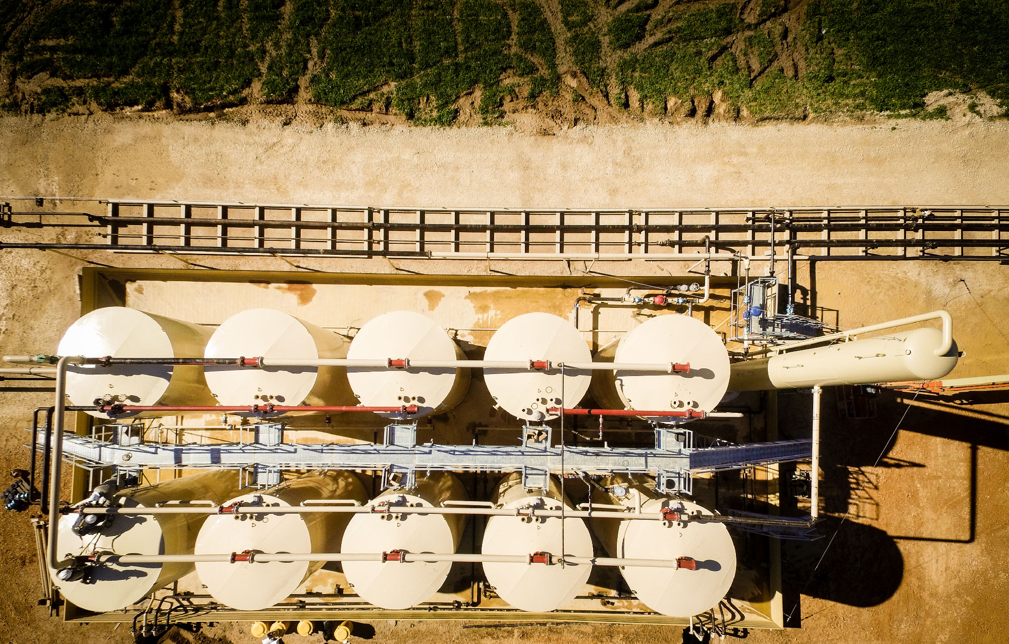
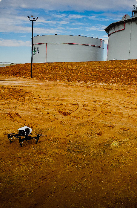
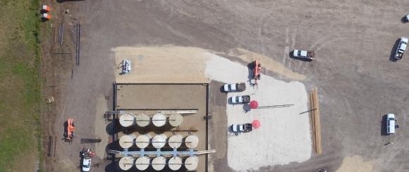
- Tank Inspections
DataWing utilizes custom-built drones and proprietary procedures to efficiently collect and analyze data on above-ground storage tanks. DataWing’s techniques save money by freeing inspectors to do more with their time. Dike volume surveys, seal inspections, and containment volume calculations are a few of the areas that DataWing has experience when it comes to floating tanks. DataWing continues to innovate and develop new techniques for drone-based inspections.
- Mapping
DataWing uses both manned and unmanned imagery in advanced photogrammetry-based process to produce high-quality maps exportable to most commonly used GIS software. Our aircraft-agnostic mindset allows us to capture mapping data at a wide range of altitudes to cover any size parcel of land.
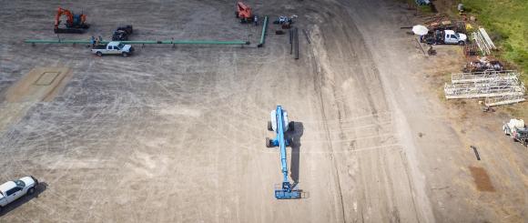
- Construction
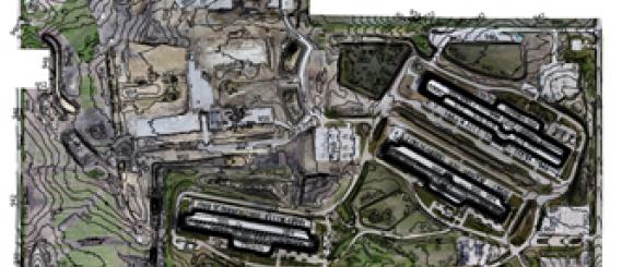
With a deep background in Oil & Gas, DataWing brings aerial imagery, drones, and advanced analytics techniques to bear on oil and gas related construction projects. DataWing uses photogrammetry techniques to create maps and models of all kinds. 3D modeling, point cloud generation, stockpile measurement, and Google Earth overlays are just few of the tools that oil and gas clients have used to maximize efficiencies in their projects.
Flare stack inspection
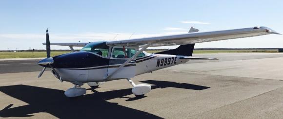
Pipeline Right-of-Way Inspections
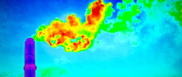
Gas Detection
Asset Management & Monitoring
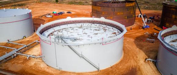
Tank Inspections
Mapping
Construction