
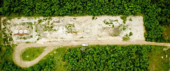
No Pipeline Goes Unseen
Leaving Nothing to Question
Nothing Is Out of Reach
Building A Better Future
Fast, Efficient & Accurate
Rise Above The Rest
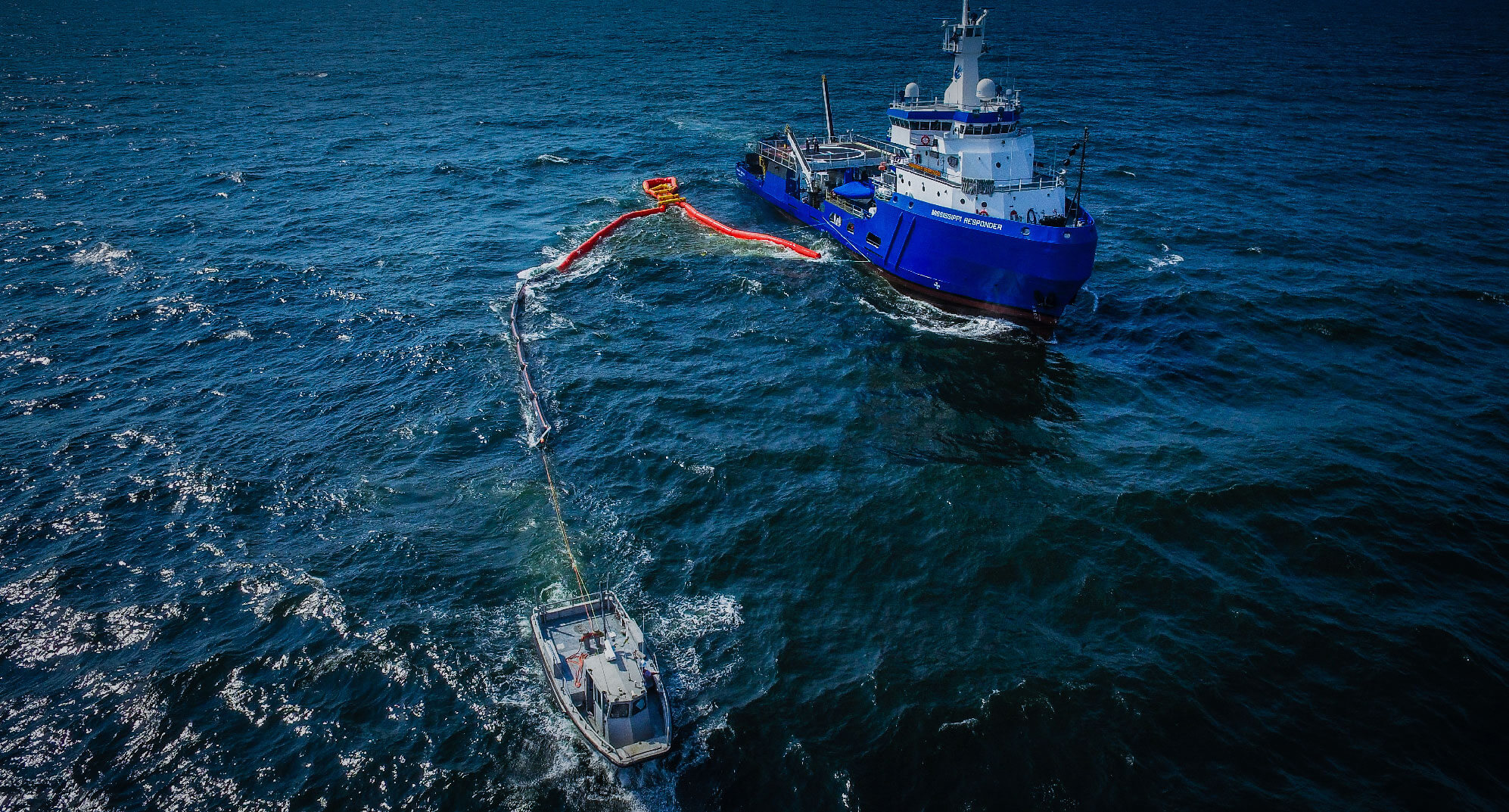
emergency response
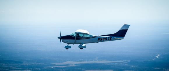
DataWing’s drones and sensor technology is perfect for emergency response, where success relies on timely, and accurate information and communication. With the ability to rapidly deploy, UAVs provide streaming HD footage to the emergency response coordinators. Helicopters and aircraft are much more expensive and have the burden of a large footprint. With less cost, UAV’s provide greater coverage, more quickly. The flexibility and nimbleness of a well-organized drone team on disaster locations greatly increases the decision making capabilities.
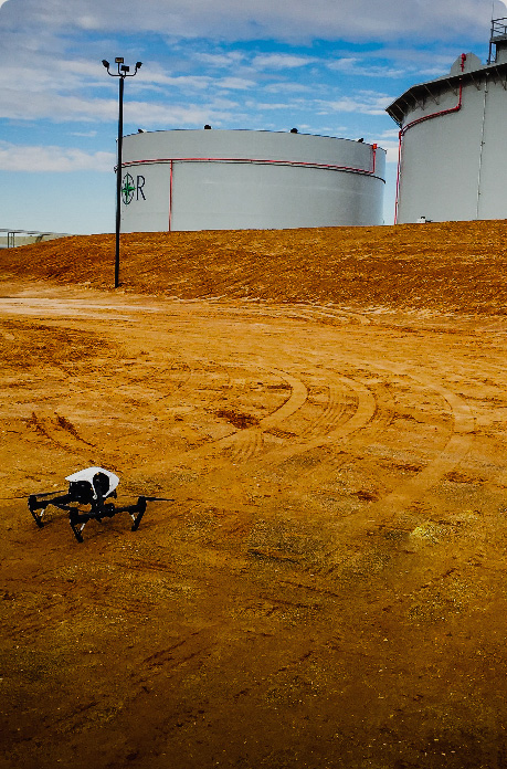


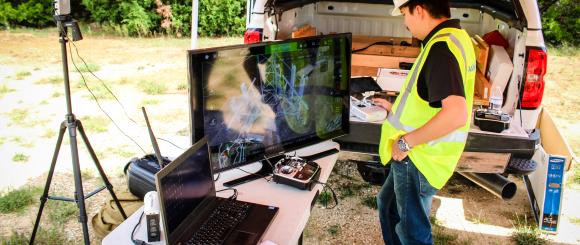
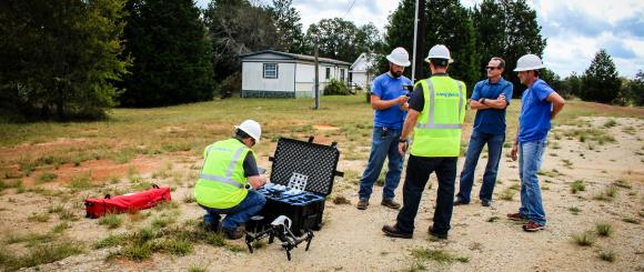
Drone Field Services
- Constant Overhead Surveillance
DataWing provides the service of deployment of a self-contained tethered drone system for extended periods of time. This system creates an aerial platform, providing efficient unmanned, overhead long-term surveillance.
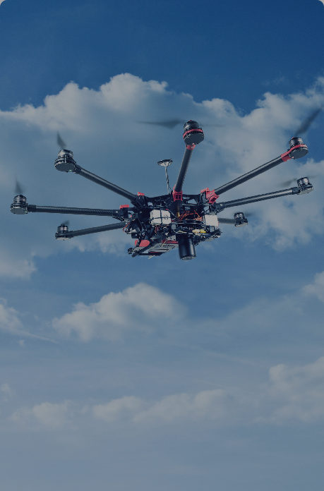
- Live Streaming
DataWing live streaming provides accurate HD video and high-resolution photography of large and confined disaster areas. Using the latest technology for aerial data capture, analysis and reporting, our live streaming feature allows for real-time damage assessment in emergency and disaster situations.
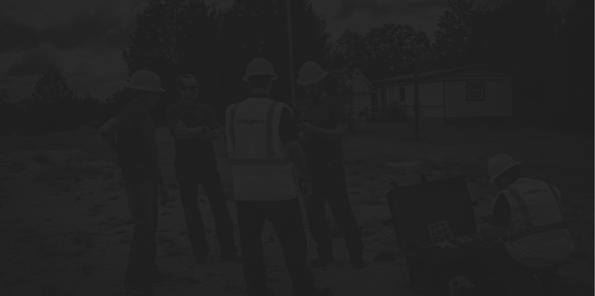
- Rapid Deployment
DataWing has a Network of Pilots across the United States that are available for quick deployment to disaster sites in the case of emergencies and natural disasters.
- Pre-Disaster Remediation
DataWing utilizes both manned and unmanned aircraft to survey, map, and model high-risk disaster areas for preemptive planning, should there be a catastrophe such as flooding or damaging natural disasters.
Constant Overhead Surveillance
Live Streaming
Rapid Deployment
Pre-Disaster Remediation