

No Pipeline Goes Unseen
Leaving Nothing to Question
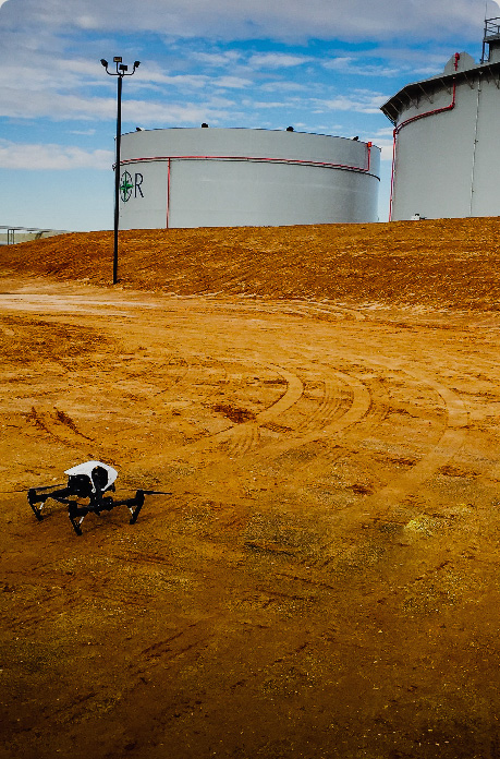
Nothing Is Out of Reach
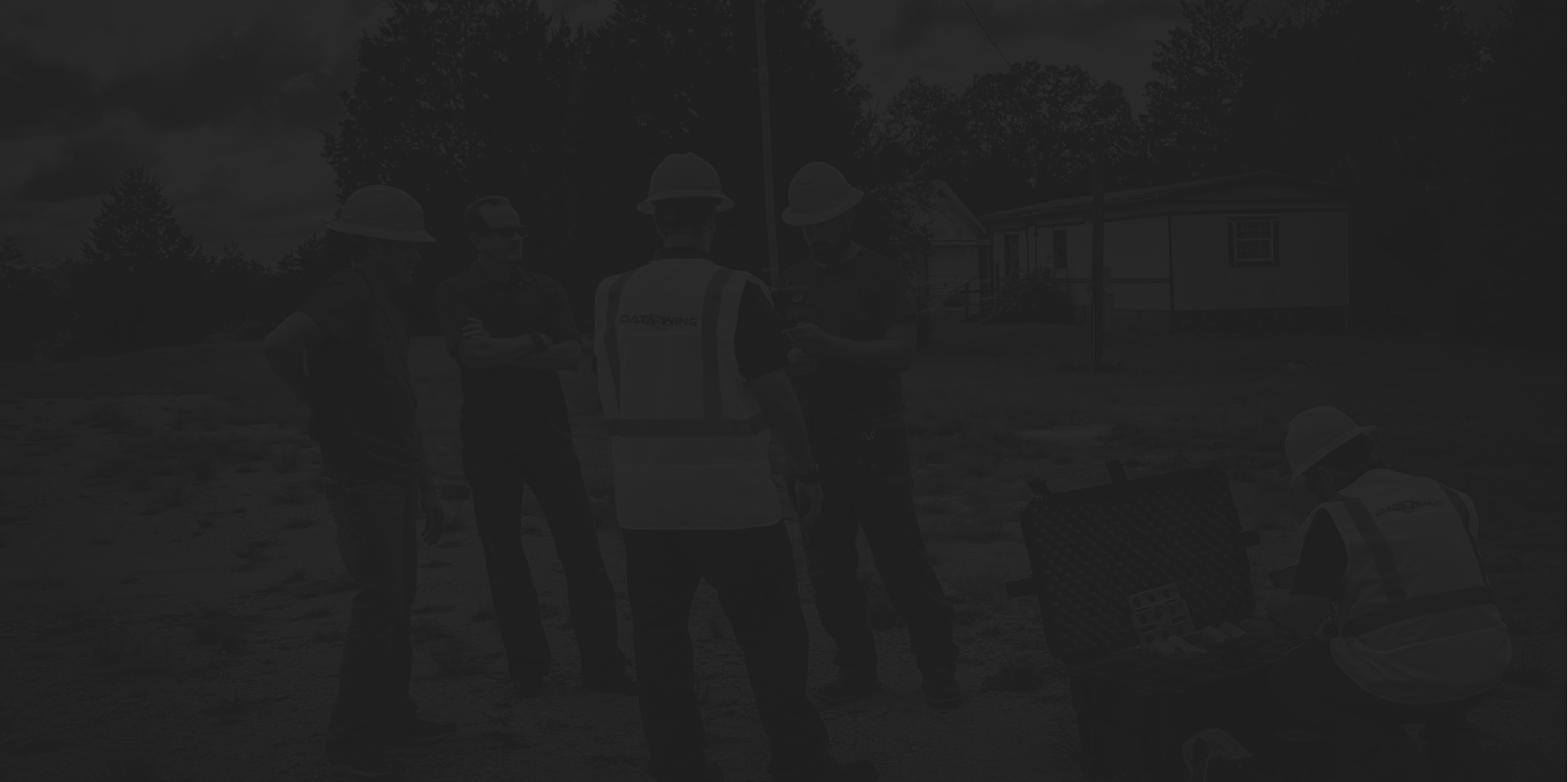
Building A Better Future
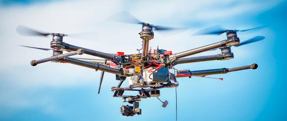
Fast, Efficient & Accurate
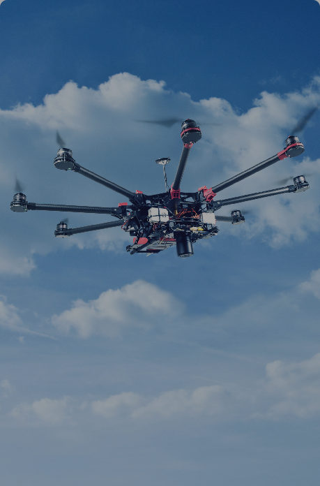
Rise Above The Rest
Insurance
Customer demands are constantly changing and requests for better, faster, and more personalized service are on the rise. This requirement is especially true in the insurance industry where each year hundreds of thousands of roofs are inspected for the purpose of property and casualty damage assessment. The versatility and efficiency of drones enable adjustors and inspectors to rapidly turnaround claims. DataWing is taking this market by storm through its offering of nation-wide drone data collection services. Through it’s proprietary software, standardized training and compliance, and its vast network of employees and subcontractors, DataWing is built to scale.


Drone Field Services
- Property and Casualty
Insurance property and casualty executives regularly face a number of major challenges, including how to continue to introduce innovation into their business processes, and how to take advantage of new technology. With the rising use of artificial intelligence, drones, Internet of Things, and increasing software developments, the struggle to maintain an innovative edge can be a daunting task. DataWing Global can now provide the answers to these challenges. DataWing’s services increase precision, accuracy, and speed of property data acquisition resulting in faster claims.
- Underwriting and Risk Management
Insurance companies survey locations that are in good condition so that when they underwrite a policy for that location, they have an idea of which policy will work best for the site. Through DataWing’s expertise, these companies can receive reliable documentation, via drone, that the property is in good working order so that they can accurately asses value and risk. Often, this type of data is used by insurance companies for larger projects such as universities, apartment complexes, or distribution centers in preparation for catastrophic events or policy enforcement.
Property and Casualty

Underwriting and Risk Management